


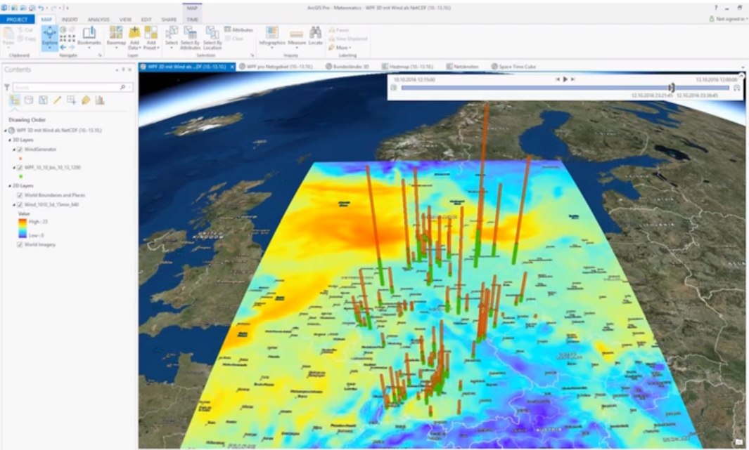
Geospatial mapping has become an essential tool across various industries, from urban planning and environmental monitoring to disaster management and logistics. With the rise of collaborative technology, open-source platforms for geospatial mapping projects have gained significant popularity, providing cost-effective and flexible solutions for individuals and organizations alike.
What Are Open-Source Platforms for Geospatial Mapping?
Open-source platforms are software systems whose source code is freely available for modification, enhancement, and distribution. When it comes to geospatial mapping, these platforms allow users to create, analyze, and visualize spatial data without the high costs associated with proprietary software. By leveraging community-driven development, these platforms often provide robust features while fostering innovation and collaboration.
Popular Open-Source Geospatial Mapping Platforms
Several open-source platforms have emerged as leaders in geospatial mapping projects:
- QGIS – Known for its versatility and user-friendly interface, QGIS supports a wide range of vector and raster data formats. Its plugin architecture allows users to extend functionality according to project requirements.
- GeoServer – Ideal for sharing and publishing spatial data over the web, GeoServer enables interoperability through open standards such as WMS (Web Map Service) and WFS (Web Feature Service).
- Leaflet – A lightweight JavaScript library, Leaflet allows developers to build interactive maps that can easily integrate into web applications. Its simplicity makes it a favorite among web developers and GIS enthusiasts.
- PostGIS – An extension of PostgreSQL, PostGIS provides advanced spatial database capabilities. It is commonly used to store, query, and manage geospatial datasets efficiently.
Benefits of Using Open-Source Platforms
Choosing open-source platforms for geospatial mapping projects offers several advantages:
- Cost-Effective: Free access to software eliminates licensing fees, making it accessible to smaller organizations and educational institutions.
- Customizable: Users can tailor software functionality to meet specific project needs.
- Community Support: Active communities contribute plugins, tutorials, and forums, helping users troubleshoot and innovate.
- Transparency: Open-source software provides full access to source code, enhancing trust and security.
Future Trends in Open-Source Geospatial Mapping
The demand for geospatial insights continues to grow, and open-source platforms are evolving rapidly to meet this need. Integration with artificial intelligence, cloud computing, and real-time data analysis is expected to make these platforms even more powerful for mapping projects of all scales.
By adopting open-source platforms for geospatial mapping projects, organizations can not only reduce costs but also foster collaboration, innovation, and transparency in spatial data management.
